
Atasta topographic map
Interactive map
Click on the map to display elevation.
About this map
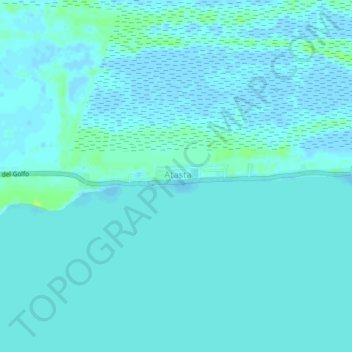
Name: Atasta topographic map, elevation, terrain.
Location: Atasta, Carmen, Campeche, México (18.59998 -92.11927 18.63998 -92.07927)
Average elevation: 2 m
Minimum elevation: -3 m
Maximum elevation: 12 m