
Geger Kalong topographic map
Interactive map
Click on the map to display elevation.
About this map
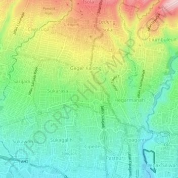
Name: Geger Kalong topographic map, elevation, terrain.
Location: Geger Kalong, Java occidental, 40153, Indonésie (-6.89490 107.57313 -6.85490 107.61313)
Average elevation: 832 m
Minimum elevation: 737 m
Maximum elevation: 995 m