
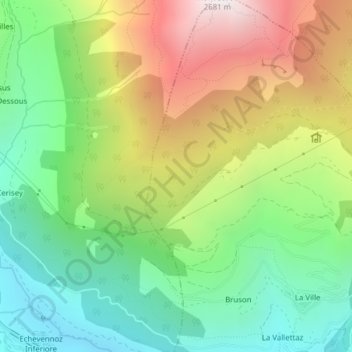
Bois De Fontaines topographic map
Interactive map
Click on the map to display elevation.
About this map
Name: Bois De Fontaines topographic map, elevation, terrain.
Location: Bois De Fontaines, Parc, Allein, Vallée d'Aoste, 11014, Italie (45.82194 7.25869 45.82204 7.25879)
Average elevation: 1,732 m
Minimum elevation: 1,155 m
Maximum elevation: 2,614 m