Geolocate

Bagacay topographic map

Click on the map to display elevation.

About this map
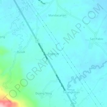
Name: Bagacay topographic map, elevation, terrain.

Location: Bagacay, Camarines Sur, Bicol Region, 4416, Philippines (13.62523 123.00739 13.66523 123.04739)

Average elevation: 28 m

Minimum elevation: 4 m

Maximum elevation: 198 m

Gear up for your next adventure:

⛺Backpacking Tent - Lightweight tent for long-distance hiking trips
🧴Waterproofing Spray - Restore the DWR coating on jackets and tents
👖Convertible Hiking Pants - Zip-off legs to adapt to changing weather conditions
🏕️Camping Hammock - Integrated protection for sleeping between trees
🎒Backpack Rain Cover - External shield to keep your entire pack dry

As an Amazon Associate, this site earns from qualifying purchases at no extra cost to you.