
Gerung topographic map
Interactive map
Click on the map to display elevation.
About this map
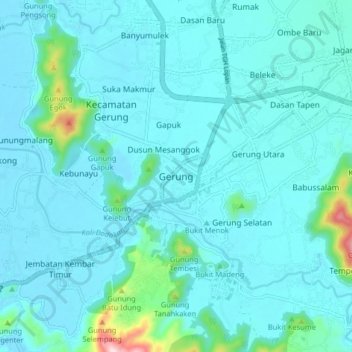
Name: Gerung topographic map, elevation, terrain.
Location: Gerung, Lombok Barat, Nusa Tenggara Barat, Indonésie (-8.72309 116.07913 -8.64309 116.15913)
Average elevation: 37 m
Minimum elevation: 3 m
Maximum elevation: 326 m