Geolocate

Baliji topographic map

Click on the map to display elevation.

About this map

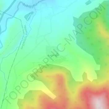
Name: Baliji topographic map, elevation, terrain.

Location: Baliji, Bolnisi Municipality, Lower Kartli, Georgia (41.36166 44.39634 41.36617 44.40320)

Average elevation: 837 m

Minimum elevation: 666 m

Maximum elevation: 1,192 m

Gear up for your next adventure:

🧴Outdoor Sunscreen - High SPF protection for high-altitude UV exposure
🥾Lightweight Hiking Boots - Boots for comfort and mobility on long hikes
🥾Mountain Hiking Boots - High-traction boots for rocky terrain
🥾Trail Hiking Boots - Supportive boots for rough trails
🧣Merino Neck Gaiter - Protects against wind, sun, and cold at high altitudes

As an Amazon Associate, this site earns from qualifying purchases at no extra cost to you.