
Plat topographic map
Interactive map
Click on the map to display elevation.
About this map
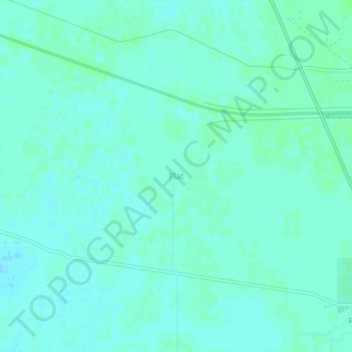
Name: Plat topographic map, elevation, terrain.
Location: Plat, Ratia, Fatehabad, Haryana, Inde (29.71655 75.51725 29.75655 75.55725)
Average elevation: 216 m
Minimum elevation: 213 m
Maximum elevation: 219 m