Geolocate

Big Beaver topographic map

Interactive map

Click on the map to display elevation.

About this map

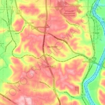
Name: Big Beaver topographic map, elevation, terrain.

Location: Big Beaver, Beaver County, Pennsylvania, 16141, United States (40.78792 -80.40894 40.85284 -80.31137)

Average elevation: 324 m

Minimum elevation: 217 m

Maximum elevation: 399 m

Other topographic maps

Click on a map to view its topography, its elevation and its terrain.

South Beaver Township

United States > Pennsylvania > Beaver County

South Beaver Township, Beaver County, Pennsylvania, 16115, United States

Average elevation: 332 m

Big Knob

United States > Pennsylvania > Beaver County > New Sewickley Township

Big Knob, New Sewickley Township, Beaver County, Pennsylvania, United States

Average elevation: 345 m

Conway

United States > Pennsylvania > Beaver County > Conway

Conway, Beaver County, Pennsylvania, 15027, United States

Average elevation: 255 m

Freedom

United States > Pennsylvania > Beaver County

Freedom, Beaver County, Pennsylvania, United States

Average elevation: 263 m