
Pelee Island topographic map
Interactive map
Click on the map to display elevation.
About this map
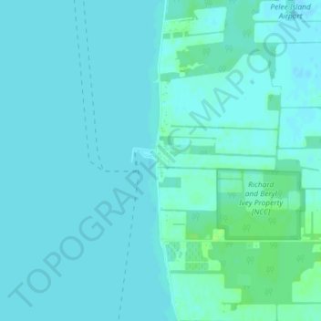
Name: Pelee Island topographic map, elevation, terrain.
Location: Pelee Island, Pelee Township, Ontario, N0R 1M0, Canada (41.75257 -82.69873 41.77257 -82.67873)
Average elevation: 174 m
Minimum elevation: 171 m
Maximum elevation: 180 m
Pelee Township trails, hiking, mountain biking, running and outdoor activities