
Santa Rosa topographic map
Interactive map
Click on the map to display elevation.
About this map
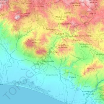
Name: Santa Rosa topographic map, elevation, terrain.
Location: Santa Rosa, Guatemala (13.79539 -90.67398 14.50515 -90.04692)
Average elevation: 692 m
Minimum elevation: 0 m
Maximum elevation: 2,541 m