
Sundvik topographic map
Interactive map
Click on the map to display elevation.
About this map
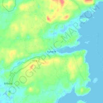
Name: Sundvik topographic map, elevation, terrain.
Average elevation: 17 m
Minimum elevation: -9 m
Maximum elevation: 57 m
Other topographic maps
Click on a map to view its topography, its elevation and its terrain.
Kimito
Finland > Southwest Finland > Kimitoön
Kimito, Kimitoön, Aboland, Southwest Finland, South-Western Finland, Mainland Finland, 25700, Finland
Average elevation: 25 m