
Saint Andrews topographic map
Click on the map to display elevation.
About this map
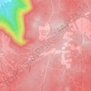
Name: Saint Andrews topographic map, elevation, terrain.
Average elevation: 566 m
Minimum elevation: 312 m
Maximum elevation: 621 m
Other topographic maps
Click on a map to view its topography, its elevation and its terrain.
Sewanee
United States > Tennessee > Franklin County > Sewanee
Sewanee lies on the western edge of the Cumberland Plateau in the southeastern part of Middle Tennessee. It is located at 35°12′4″N 85°55′17″W / 35.20111°N 85.92139°W / 35.20111; -85.92139 (35.201232, -85.921524). It is at elevation 1,929 feet (588 m).
Average elevation: 539 m