
Riverton topographic map
Click on the map to display elevation.
About this map
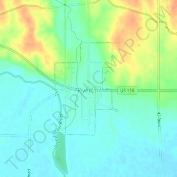
Name: Riverton topographic map, elevation, terrain.
Location: Riverton, Franklin County, Nebraska, United States (40.08249 -98.76581 40.09663 -98.75315)
Average elevation: 547 m
Minimum elevation: 533 m
Maximum elevation: 575 m