
Lạc Thủy topographic map
Interactive map
Click on the map to display elevation.
About this map
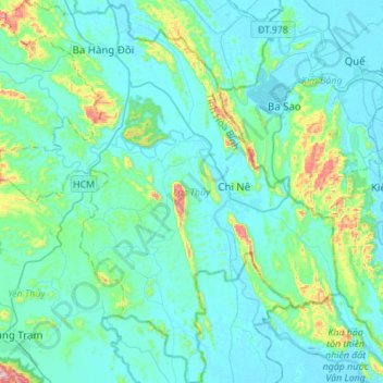
Name: Lạc Thủy topographic map, elevation, terrain.
Location: Lạc Thủy, Province de Hòa Bình, Viêt Nam (20.36650 105.61080 20.62472 105.85715)
Average elevation: 70 m
Minimum elevation: -2 m
Maximum elevation: 503 m