
Maraimalai Nagar topographic map
Interactive map
Click on the map to display elevation.
About this map
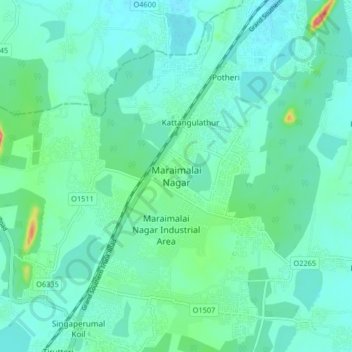
Name: Maraimalai Nagar topographic map, elevation, terrain.
Average elevation: 49 m
Minimum elevation: 32 m
Maximum elevation: 123 m
Other topographic maps
Click on a map to view its topography, its elevation and its terrain.
Vandalur
India > Tamil Nadu > Chengalpattu
Vandalur, Chengalpattu, Chengalpattu District, Tamil Nadu, 603210, India
Average elevation: 27 m