
长桥 topographic map
Interactive map
Click on the map to display elevation.
About this map
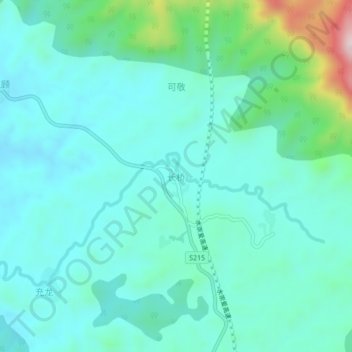
Name: 长桥 topographic map, elevation, terrain.
Location: 长桥, 宁明县, 崇左市, 广西壮族自治区, 中国 (21.97329 107.11743 22.01329 107.15743)
Average elevation: 235 m
Minimum elevation: 154 m
Maximum elevation: 593 m
Other topographic maps
Click on a map to view its topography, its elevation and its terrain.