
Census Area delle Aleutine occidentali topographic map
Interactive map
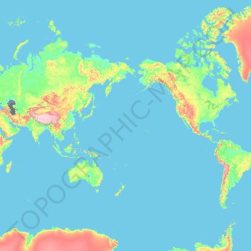
Click on the map to display elevation.
About this map
Name: Census Area delle Aleutine occidentali topographic map, elevation, terrain.
Average elevation: 250 m
Minimum elevation: -30 m
Maximum elevation: 6,418 m