
Make a donation
Gear up for your next adventure:
As an Amazon Associate, this site earns from qualifying purchases at no extra cost to you.
Over topographic map
Click on the map to display elevation.
Make a donation
Gear up for your next adventure:
As an Amazon Associate, this site earns from qualifying purchases at no extra cost to you.
About this map
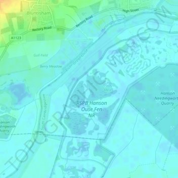
Name: Over topographic map, elevation, terrain.
Average elevation: 5 m
Minimum elevation: -4 m
Maximum elevation: 29 m
Make a donation
Gear up for your next adventure:
As an Amazon Associate, this site earns from qualifying purchases at no extra cost to you.
Other topographic maps
Click on a map to view its topography, its elevation and its terrain.
Shepherd's Way
United Kingdom > England > Cambridgeshire > South Cambridgeshire
Average elevation: 16 m
Make a donation
Gear up for your next adventure:
As an Amazon Associate, this site earns from qualifying purchases at no extra cost to you.
(no name - just a patch of grass)
United Kingdom > England > Cambridgeshire > South Cambridgeshire > Waterbeach
Average elevation: 6 m