
Viele topographic map
Interactive map
Click on the map to display elevation.
About this map
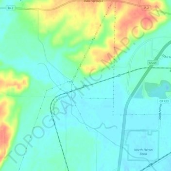
Name: Viele topographic map, elevation, terrain.
Location: Viele, Lee County, Iowa, Vereinigte Staaten von Amerika (40.59322 -91.45445 40.63322 -91.41445)
Average elevation: 175 m
Minimum elevation: 158 m
Maximum elevation: 213 m