Geolocate

Cogorin Ilaya topographic map

Click on the map to display elevation.

About this map
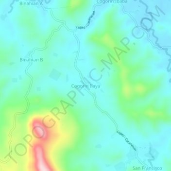
Name: Cogorin Ilaya topographic map, elevation, terrain.

Location: Cogorin Ilaya, Lopez, Quezon, Calabarzon, Philippines (13.78827 122.26327 13.82827 122.30327)

Average elevation: 85 m

Minimum elevation: 21 m

Maximum elevation: 316 m

Gear up for your next adventure:

🌬️Windproof Camp Stove - Efficient cooking even on exposed mountain peaks
🧭GPS Handheld Device - Reliable GPS navigation for outdoor adventures
🥾Hiking Shorts - Breathable shorts suitable for summer hikes
🧦Hiking Socks - Moisture-wicking and comfortable socks for long hikes
💡LED Camping Lantern - Illuminate your campsite with long-lasting lanterns

As an Amazon Associate, this site earns from qualifying purchases at no extra cost to you.