
1 de Mayo topographic map
Interactive map
Click on the map to display elevation.
About this map
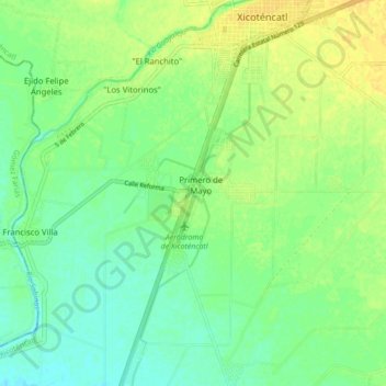
Name: 1 de Mayo topographic map, elevation, terrain.
Location: 1 de Mayo, Xicoténcatl, Tamaulipas, 89750, México (22.91989 -98.99813 22.99989 -98.91813)
Average elevation: 86 m
Minimum elevation: 75 m
Maximum elevation: 99 m