
Thank you for supporting this site ❤️
Make a donation
Make a donation
Gear up for your next adventure:
As an Amazon Associate, this site earns from qualifying purchases at no extra cost to you.
Jezerski topographic map
Click on the map to display elevation.
Thank you for supporting this site ❤️
Make a donation
Make a donation
Gear up for your next adventure:
As an Amazon Associate, this site earns from qualifying purchases at no extra cost to you.
About this map
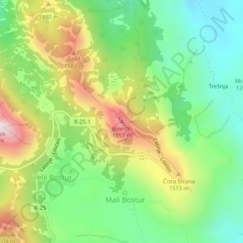
Name: Jezerski topographic map, elevation, terrain.
Location: Jezerski, Mali Bostur, Old Royal Capital Cetinje, Montenegro (42.39965 18.83761 42.39975 18.83771)
Average elevation: 1,342 m
Minimum elevation: 1,096 m
Maximum elevation: 1,724 m
Thank you for supporting this site ❤️
Make a donation
Make a donation
Gear up for your next adventure:
As an Amazon Associate, this site earns from qualifying purchases at no extra cost to you.