Geolocate

Karnisar topographic map

Click on the map to display elevation.

About this map

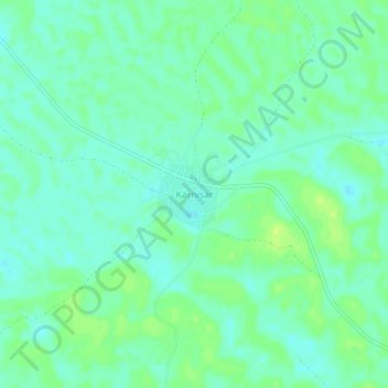
Name: Karnisar topographic map, elevation, terrain.

Location: Karnisar, Poogal Tehsil, Bikaner District, Rajasthan, India (28.32318 73.03543 28.36318 73.07543)

Average elevation: 184 m

Minimum elevation: 177 m

Maximum elevation: 192 m

Gear up for your next adventure:

🥾Durable Hiking Shoes - Long-lasting shoes for frequent hiking
🥾All-Terrain Hiking Boots - Versatile boots for varied hiking conditions
🐕Hiking Dog Pack - Let your canine companion carry their own water and food
🧦Outdoor Socks - Durable socks designed for hiking and outdoor sports
🧤Rechargeable Heated Gloves - Extreme warmth for Canadian winter expeditions

As an Amazon Associate, this site earns from qualifying purchases at no extra cost to you.