
Lac de la Grande Fourche topographic map
Interactive map
Click on the map to display elevation.
About this map
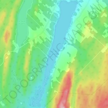
Name: Lac de la Grande Fourche topographic map, elevation, terrain.
Average elevation: 373 m
Minimum elevation: 313 m
Maximum elevation: 510 m