
Awoda topographic map
Interactive map
Click on the map to display elevation.
About this map
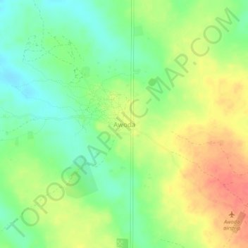
Name: Awoda topographic map, elevation, terrain.
Location: Awoda, Aweil Centre, Northern Bahr el Ghazal, South Sudan (8.03997 26.82588 8.07997 26.86588)
Average elevation: 571 m
Minimum elevation: 545 m
Maximum elevation: 602 m