Geolocate

Mount Liberty topographic map

Click on the map to display elevation.

About this map

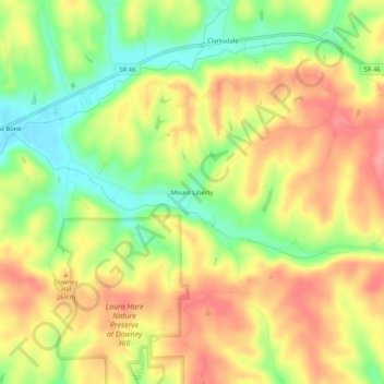
Name: Mount Liberty topographic map, elevation, terrain.

Location: Mount Liberty, Brown County, Indiana, United States (39.16422 -86.15027 39.20422 -86.11027)

Average elevation: 241 m

Minimum elevation: 192 m

Maximum elevation: 283 m

Gear up for your next adventure:

🩹Compact First Aid Kit - Pre-packed essentials for common trail injuries
🚲Bike Repair Kit - Essential tools for on-trail mechanical issues
🔦LED Headlamp - Hands-free lighting for early morning starts or late finishes
🚑Survival Whistle - Signal for help across long distances in mountains
🥾Light Trekking Boots - Supportive boots for multi-day treks

As an Amazon Associate, this site earns from qualifying purchases at no extra cost to you.