Geolocate

Costa di Rovigo topographic map

Click on the map to display elevation.

About this map
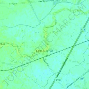
Name: Costa di Rovigo topographic map, elevation, terrain.

Location: Costa di Rovigo, Rovigo, Veneto, Italia (45.02815 11.66681 45.07612 11.73769)

Average elevation: 4 m

Minimum elevation: 0 m

Maximum elevation: 9 m

Gear up for your next adventure:

🎒Hiking Backpack - Lightweight and ergonomic backpacks for day hikes or multi-day treks
⛺Lightweight Camping Tent - Portable shelter optimized for Canadian backcountry camping
🚲Heavy Duty Bike Lock - Secure your bike at the trailhead or during stops
🧭Orienteering Kit - Tools for map reading and navigation in the wild
💡Solar Camping Lamp - Eco-friendly lighting for campsites

As an Amazon Associate, this site earns from qualifying purchases at no extra cost to you.