Geolocate

Scafa topographic map

Click on the map to display elevation.

About this map

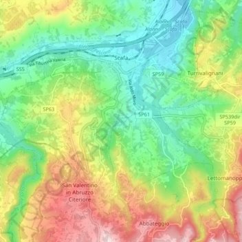
Name: Scafa topographic map, elevation, terrain.

Location: Scafa, Pescara, Abruzzo, Italy (42.23060 13.94830 42.27147 14.03115)

Average elevation: 253 m

Minimum elevation: 76 m

Maximum elevation: 535 m

Gear up for your next adventure:

Tent Footprint - Protect tent floor and increase durability
🛶Waterproof Dry Bags - Keep electronics and clothes dry during river crossings
🧥Softshell Jacket - Windproof and breathable jacket for hiking
🔥Emergency Fire Starter - Reliable ignition source for all weather conditions
🧦Crew Hiking Socks - Comfortable socks for long-distance hikes

As an Amazon Associate, this site earns from qualifying purchases at no extra cost to you.