
Make a donation
Gear up for your next adventure:
As an Amazon Associate, this site earns from qualifying purchases at no extra cost to you.
Hindenburg topographic map
Click on the map to display elevation.
Make a donation
Gear up for your next adventure:
As an Amazon Associate, this site earns from qualifying purchases at no extra cost to you.
Hindenburg
Es gibt keine sicheren Beweise für die Lage einer namengebenden Burg. Vermutet wird sie im Westteil des Dorfes auf einer nach Nordwesten vorspringenden Anhöhe unmittelbar westlich der Kirche. Wahrscheinlich war es eine ovale Höhenburg von etwa 70 × 90 Meter im Durchmesser mit vorgelegtem Graben. Im 19. Jahrhundert waren Wall und Graben einer Burg noch sichtbar.
Make a donation
Gear up for your next adventure:
As an Amazon Associate, this site earns from qualifying purchases at no extra cost to you.
About this map
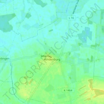
Name: Hindenburg topographic map, elevation, terrain.
Average elevation: 29 m
Minimum elevation: 23 m
Maximum elevation: 41 m
Make a donation
Gear up for your next adventure:
As an Amazon Associate, this site earns from qualifying purchases at no extra cost to you.