Geolocate

Jolpur topographic map

Click on the map to display elevation.

About this map

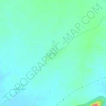
Name: Jolpur topographic map, elevation, terrain.

Location: Jolpur, Reodar Tehsil, Sirohi, Rajasthan, India (24.64769 72.54418 24.68769 72.58418)

Average elevation: 281 m

Minimum elevation: 266 m

Maximum elevation: 346 m

Gear up for your next adventure:

🧥Waterproof Hiking Jacket - Protect yourself from rain and wind while hiking
🧥Waterproof Jacket - Lightweight rain jackets for hiking and outdoor activities
🔪Outdoor Multitool - Versatile tool for repairs and food prep in the wild
🔭Compact Binoculars - Lightweight optics for scouting trails and wildlife
🔥Emergency Fire Starter - Reliable ignition source for all weather conditions

As an Amazon Associate, this site earns from qualifying purchases at no extra cost to you.