
Uygur District topographic map
Interactive map
Click on the map to display elevation.
About this map
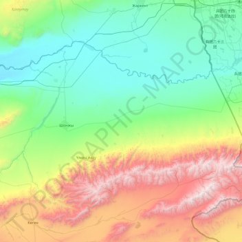
Name: Uygur District topographic map, elevation, terrain.
Location: Uygur District, Almaty Region, Kazakhstan (43.13500 78.99839 43.97870 80.75670)
Average elevation: 1,279 m
Minimum elevation: 489 m
Maximum elevation: 3,690 m