
Harris topographic map
Click on the map to display elevation.
About this map
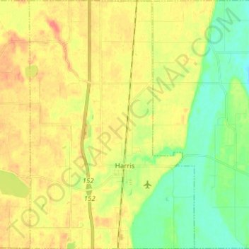
Name: Harris topographic map, elevation, terrain.
Location: Harris, Chisago County, Minnesota, 55032, United States (45.55703 -93.02247 45.64413 -92.93971)
Average elevation: 273 m
Minimum elevation: 247 m
Maximum elevation: 301 m
Other topographic maps
Click on a map to view its topography, its elevation and its terrain.
Moody Lake
United States > Minnesota > Chisago County > Chisago Lake Township
Average elevation: 283 m