
Eruvadi topographic map
Click on the map to display elevation.
About this map
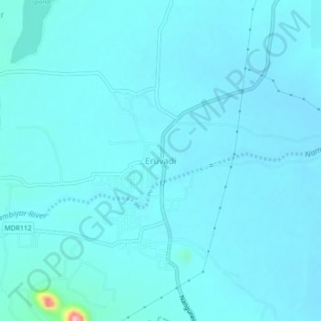
Name: Eruvadi topographic map, elevation, terrain.
Location: Eruvadi, Nanguneri, Tirunelveli, Tamil Nadu, 627103, India (8.42401 77.58503 8.46401 77.62503)
Average elevation: 94 m
Minimum elevation: 81 m
Maximum elevation: 261 m
Other topographic maps
Click on a map to view its topography, its elevation and its terrain.
Manimuthar River
India > Tamil Nadu > Nanguneri
With elevations ranging from 1,020–1,500 metres (3,350–4,920 ft), the Manjolai area is set deep in the Western Ghats within the Kalakkad Mundanthurai Tiger Reserve in Tirunelveli District. Located on top of the Manimuthar Dam and the Manimuthar waterfalls, the Manjolai area comprises tea plantations and…
Average elevation: 604 m