Geolocate

Enterprise topographic map

Click on the map to display elevation.

Enterprise

It lies at an elevation of 538 feet (164 m).

Wikipedia (CC-BY-SA 3.0)

About this map

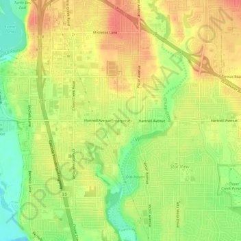
Name: Enterprise topographic map, elevation, terrain.

Location: Enterprise, Redding, Shasta County, California, 96002, United States (40.54376 -122.36278 40.58376 -122.32278)

Average elevation: 166 m

Minimum elevation: 135 m

Maximum elevation: 188 m

Gear up for your next adventure:

🥾Waterproof Hiking Boots - Essential footwear for rugged terrain and wet Canadian trails
🥾Trekking Boots - Durable boots for long-distance trekking
🧥Waterproof Pants - Keep dry during rainy hiking conditions
💧Reusable Water Bottle - Durable water bottles for hydration on trails
🥾Trail Hiking Socks - Comfortable socks to prevent blisters and fatigue

As an Amazon Associate, this site earns from qualifying purchases at no extra cost to you.