
Manikata topographic map
Interactive map
Click on the map to display elevation.
About this map
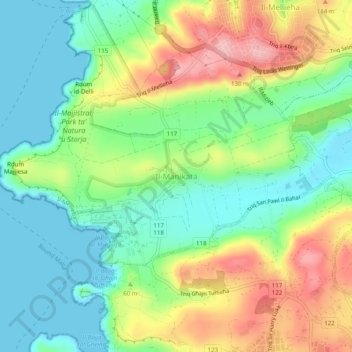
Name: Manikata topographic map, elevation, terrain.
Location: Manikata, Mellieha, Northern Region, MLH 1106, Malta (35.92072 14.33376 35.96072 14.37376)
Average elevation: 57 m
Minimum elevation: 0 m
Maximum elevation: 151 m