Geolocate

San Pablo topographic map

Click on the map to display elevation.

About this map

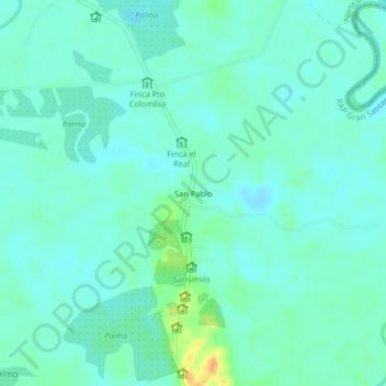
Name: San Pablo topographic map, elevation, terrain.

Location: San Pablo, Tibú, Norte, Norte de Santander, Colombia (8.54883 -72.65566 8.58883 -72.61566)

Average elevation: 41 m

Minimum elevation: 33 m

Maximum elevation: 69 m

Gear up for your next adventure:

🧦Hiking Socks - Moisture-wicking and comfortable socks for long hikes
📷Outdoor Action Camera - Capture high-elevation views and rugged adventures
🥾Trekking Boots - Durable boots for long-distance trekking
🧥Softshell Hiking Jacket - The perfect balance of wind protection and breathability
🦶Anti-Blister Balm - Prevents friction and hotspots during long ascents

As an Amazon Associate, this site earns from qualifying purchases at no extra cost to you.