Geolocate

Hurdle Mills topographic map

Click on the map to display elevation.

About this map

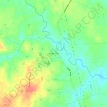
Name: Hurdle Mills topographic map, elevation, terrain.

Location: Hurdle Mills, Person County, North Carolina, United States (36.25320 -79.06751 36.29320 -79.02751)

Average elevation: 189 m

Minimum elevation: 163 m

Maximum elevation: 226 m

Gear up for your next adventure:

🥾Durable Hiking Shoes - Long-lasting shoes for frequent hiking
🧴First Aid Kit - Essential first aid supplies for outdoor emergencies
🧦Thermal Socks - Warm socks for winter hiking or camping
🥾Hiking Boots - Sturdy boots providing ankle support and traction on rugged trails
Lightweight Backpacking Tent - Compact tent for efficient hiking trips

As an Amazon Associate, this site earns from qualifying purchases at no extra cost to you.