Geolocate

Solberg topographic map

Click on the map to display elevation.

About this map

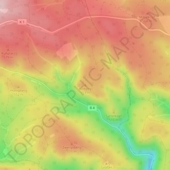
Name: Solberg topographic map, elevation, terrain.

Location: Solberg, Ellrich, Landkreis Nordhausen, Thuringia, Germany (51.62578 10.75909 51.62588 10.75919)

Average elevation: 530 m

Minimum elevation: 371 m

Maximum elevation: 628 m

Gear up for your next adventure:

💧Reusable Water Bottle - Durable water bottles for hydration on trails
🛌Down Sleeping Bag - Superior warmth-to-weight ratio for cold nights
🪑Ultralight Camping Stool - Compact seating for rest stops during long hikes
🧭GPS Outdoor Watch - Smart watch for navigation and fitness tracking in nature
🥾Trekking Boots - Durable boots for long-distance trekking

As an Amazon Associate, this site earns from qualifying purchases at no extra cost to you.