Geolocate

Gruvbyn topographic map

Click on the map to display elevation.

About this map

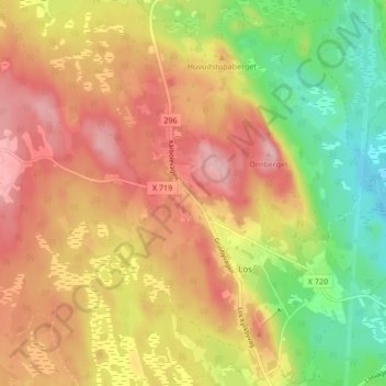
Name: Gruvbyn topographic map, elevation, terrain.

Location: Gruvbyn, Los, Ljusdals kommun, Gävleborgs län, 820 50, Sverige (61.72439 15.13779 61.76439 15.17779)

Average elevation: 397 m

Minimum elevation: 317 m

Maximum elevation: 463 m

Gear up for your next adventure:

🥽Outdoor Goggles - Protective eyewear for outdoor activities
🦶Anti-Blister Balm - Prevents friction and hotspots during long ascents
👟Sport Hiking Sandals - Breathable footwear for water crossings and camp rest
🛏️Sleeping Bag - Warm and compact sleeping bags for outdoor camping
🧥Ultralight Puffy Jacket - Maximum warmth that packs down to the size of an orange

As an Amazon Associate, this site earns from qualifying purchases at no extra cost to you.