
Parroquia San Isidro topographic map
Interactive map
Click on the map to display elevation.
About this map
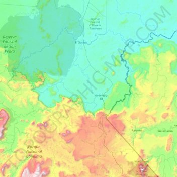
Name: Parroquia San Isidro topographic map, elevation, terrain.
Location: Parroquia San Isidro, Municipio Sifontes, Bolívar, Venezuela (5.90484 -62.94055 6.57871 -61.11374)
Average elevation: 578 m
Minimum elevation: 90 m
Maximum elevation: 2,665 m