
Huseni topographic map
Interactive map
Click on the map to display elevation.
About this map
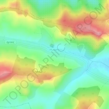
Name: Huseni topographic map, elevation, terrain.
Location: Huseni, Sălaj, 457086, Rumänien (47.17832 22.79575 47.18522 22.81750)
Average elevation: 309 m
Minimum elevation: 256 m
Maximum elevation: 386 m
Other topographic maps
Click on a map to view its topography, its elevation and its terrain.