
Belén topographic map
Interactive map
Click on the map to display elevation.
About this map
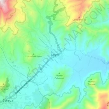
Name: Belén topographic map, elevation, terrain.
Location: Belén, Tundama, Boyacá, 150640, Colombie (5.94945 -72.95331 6.02945 -72.87331)
Average elevation: 2,849 m
Minimum elevation: 2,580 m
Maximum elevation: 3,723 m