
Sirohi topographic map
Click on the map to display elevation.
Sirohi
Sirohi is located at 24°53′06″N 72°51′45″E / 24.885°N 72.8625°E / 24.885; 72.8625. It has an average elevation of 321 metres (1053 ft).
About this map
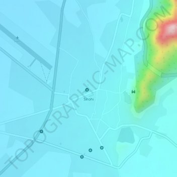
Name: Sirohi topographic map, elevation, terrain.
Location: Sirohi, Sirohi Tehsil, Sirohi District, Rajasthan, India (24.87798 72.85090 24.89680 72.86953)
Average elevation: 321 m
Minimum elevation: 288 m
Maximum elevation: 607 m