Geolocate

Kakrola topographic map

Click on the map to display elevation.

About this map

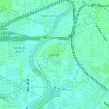
Name: Kakrola topographic map, elevation, terrain.

Location: Kakrola, Dwarka, Dwarka Tehsil, South West Delhi, Delhi, India (28.60430 77.01442 28.60979 77.01983)

Average elevation: 213 m

Minimum elevation: 210 m

Maximum elevation: 216 m

Gear up for your next adventure:

🔦LED Flashlight - Powerful and long-lasting flashlight for camping and emergencies
🥾Lightweight Hiking Boots - Boots for comfort and mobility on long hikes
📷Outdoor Action Camera - Capture high-elevation views and rugged adventures
🕶️Polarized Sunglasses - Protect your eyes with durable polarized lenses
🧥Softshell Hiking Jacket - The perfect balance of wind protection and breathability

As an Amazon Associate, this site earns from qualifying purchases at no extra cost to you.