
El Ghicha ⵍⵖⵉⵛⴰ الغيشة topographic map
Interactive map
Click on the map to display elevation.
About this map
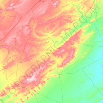
Name: El Ghicha ⵍⵖⵉⵛⴰ الغيشة topographic map, elevation, terrain.
Location: El Ghicha ⵍⵖⵉⵛⴰ الغيشة, El Ghicha (distrito), Laghouat, Argélia (33.64835 1.88502 34.10206 2.36771)
Average elevation: 1,228 m
Minimum elevation: 922 m
Maximum elevation: 1,661 m