Geolocate

Martainville topographic map

Click on the map to display elevation.

About this map
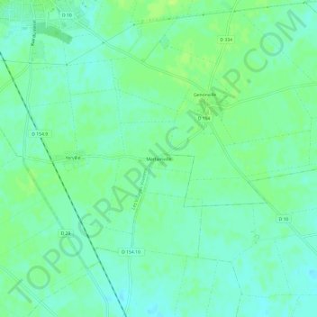
Name: Martainville topographic map, elevation, terrain.

Location: Martainville, Fains-la-Folie, Éole-en-Beauce, Chartres, Eure-et-Loir, Centre-Val de Loire, France métropolitaine, 28150, France (48.23017 1.62935 48.27017 1.66935)

Average elevation: 143 m

Minimum elevation: 137 m

Maximum elevation: 150 m

Other topographic maps

Click on a map to view its topography, its elevation and its terrain.

Gear up for your next adventure:

👟Sport Hiking Sandals - Breathable footwear for water crossings and camp rest
🧥Insulated Jacket - Keep warm in cold outdoor conditions
🥾Lightweight Hiking Boots - Boots for comfort and mobility on long hikes
🥾Mountain Trail Shoes - High-traction shoes for mountain trails
🔭Outdoor Binoculars - Lightweight binoculars for birdwatching and hiking

As an Amazon Associate, this site earns from qualifying purchases at no extra cost to you.