Geolocate

Tudela topographic map

Click on the map to display elevation.

About this map
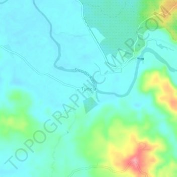
Name: Tudela topographic map, elevation, terrain.

Location: Tudela, Trento, Agusan del Sur, Caraga, 8505, Philippines (8.04809 126.08341 8.08809 126.12341)

Average elevation: 52 m

Minimum elevation: 28 m

Maximum elevation: 141 m

Gear up for your next adventure:

🧰Emergency Multi-Tool - Compact multi-tool for outdoor survival
🥾Durable Hiking Shoes - Long-lasting shoes for frequent hiking
🥘Camping Cookware Set - Compact nesting pots and pans for trail cooking
🗺️Topographic Maps - Detailed maps to explore trails, mountains, and wilderness areas
🧣Merino Neck Gaiter - Protects against wind, sun, and cold at high altitudes

As an Amazon Associate, this site earns from qualifying purchases at no extra cost to you.