Geolocate

Berlin topographic map

Click on the map to display elevation.

About this map

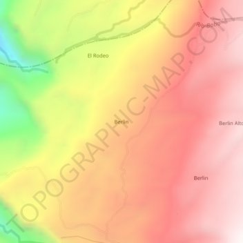
Name: Berlin topographic map, elevation, terrain.

Location: Berlin, La Belleza, Vélez, Santander, Colombia (5.89358 -73.97693 5.93358 -73.93693)

Average elevation: 2,029 m

Minimum elevation: 1,198 m

Maximum elevation: 2,508 m

Gear up for your next adventure:

🔥Camping Stove - Portable stoves to cook outdoors with ease
🏃Hydration Running Vest - Carry water and maps close to your body for speed
🥾Mountain Hiking Shoes - Shoes with superior grip for mountainous terrain
💡LED Camping Lantern - Illuminate your campsite with long-lasting lanterns
🧢Outdoor Cap - Protective cap for sun and rain during hikes

As an Amazon Associate, this site earns from qualifying purchases at no extra cost to you.