Geolocate

Verdello topographic map

Click on the map to display elevation.

About this map

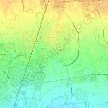
Name: Verdello topographic map, elevation, terrain.

Location: Verdello, Bergamo, Lombardy, 24049, Italy (45.58150 9.61926 45.61985 9.65626)

Average elevation: 170 m

Minimum elevation: 153 m

Maximum elevation: 186 m

Gear up for your next adventure:

🧴First Aid Kit - Essential first aid supplies for outdoor emergencies
🧥Fleece Jacket - Warm and lightweight jacket for layering
🥾Hiking Shorts - Breathable shorts suitable for summer hikes
🧥Thermal Fleece Jacket - Versatile insulation for changing mountain temperatures
🧼Biodegradable Camp Soap - Environmentally friendly cleaning for gear and body

As an Amazon Associate, this site earns from qualifying purchases at no extra cost to you.