
Taxas topographic map
Click on the map to display elevation.
About this map
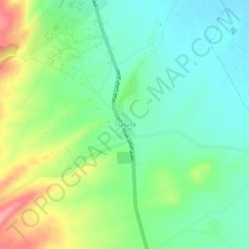
Name: Taxas topographic map, elevation, terrain.
Location: Taxas, Sigus, Sigus District, Oum El Bouaghi, Algeria (36.04704 6.79573 36.08704 6.83573)
Average elevation: 834 m
Minimum elevation: 789 m
Maximum elevation: 924 m